“India in Triangles: The incredible story of how India was mapped and the Himalayas measured” by Shruthi Rao and Meera Iyer
India in Triangles is a truly fascinating account about the Great Trigonometrical Survey of India in the nineteenth century. It was a mission to map India by the British using triangulation. A method that helped them measure every inch with accuracy. Along the way, they calculated the height of the world’s tallest mountain and revealed the true shape of the earth.
Shruthi Rao and Meera Iyer tell a riveting tale of how India was mapped. It is an extraordinary story that incorporates mini biographies of the key people like William Lambton, George Everest, and Radhanath Sikdar, to name some. The authors have used scientific data, mathematical descriptions and historical details that could have fallen into the dangerous trap of being a complicated account; instead it is lucidy, swiftly moving, and despite being packed with information, it is immensely readable. They have also managed to create a text that does not dumb down its tone as if that is the only way for speaking to children. This book will work in the cross over market.
There are illustrations of the instruments used and even of the maps created. Unfortunately, some of the maps are quite unreadable and like black blotches of newsprint.
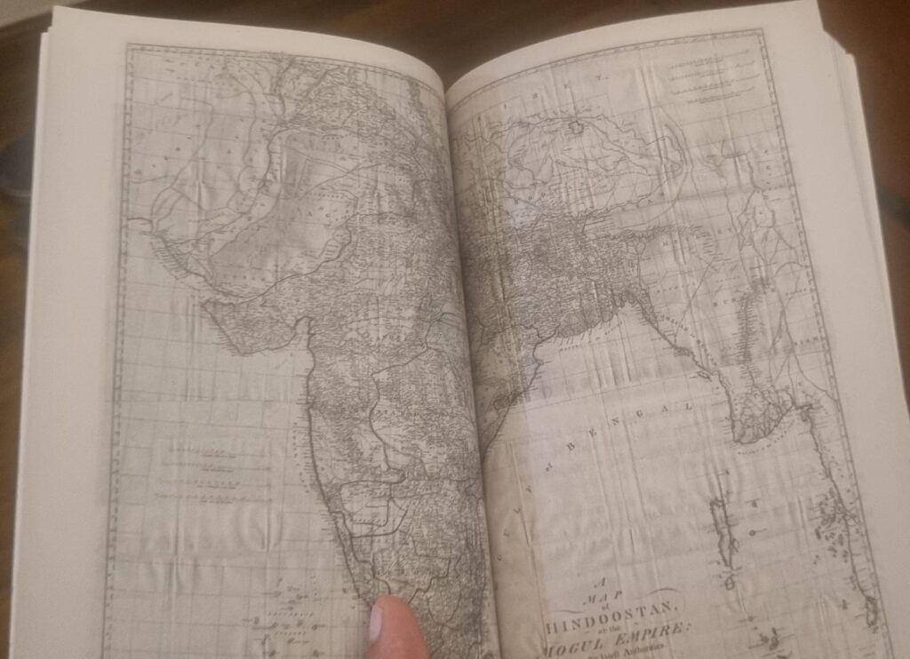
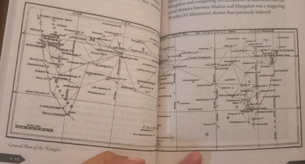
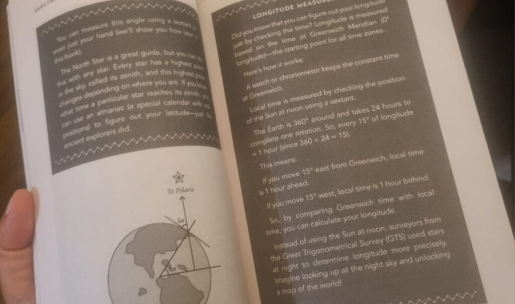
While I get the importance of watching costs in producing a book, surely, exceptions to the rule could have been in the case of India in Triangles. Firstly, when reproducing maps in a book, avoid doing a double page spread where the map falls into the gutter. Consider, printing the map in a folded paper. Make the experience immersive, tactile, and legible. Let the target audience know what it means to open a folded map and pore over it. Secondly, avoid using blurry, black and white print. Try and spend time with the design, even if the original reproduction of the map is of poor quality, and attempt to sharpen the image. It will take many hours to fix but ultimately, it will be worth it. When a book is a pleasure to read, the word spreads very quickly. Finally, even if this title is meant as children’s literature, surely there could have been an attempt to make the information in the boxes easier to read (or just do away with them!). To put faint white print on a dark background is uninteresting, dull and makes the text very difficult to read. Why is the joy taken out of reading because of the constant emphasis on cost? Surely, a decent balance can be struck between the two factors.
Sadly, this delightful book, has been printed on poor quality paper, that is rough to touch and is reminiscent of school textbooks. So, even if the layout, dimensions, and content of the book is not the same as the textbook, the memories that it throws up while holding such a book can mar the reading pleasure.
Reading a book is not just about reading the words on the page. Avoid making it into a workmanlike experience that is inevitably equated with reading school curricula. Reading should not be a chore. It should be a memorable pleasure and most certainly, when it is a book on the mapping of the Indian subcontinent. Tweaking a few design elements, looking at options in the market within the budget, to produce a low cost publishing may take a while to cobble but it will be worth it. It just requires a wee bit of imagination and a confident boldness, matching the astonishing clarity and perfect tenor with which the authors write. Their storytelling is filled with immense joy bordering on almost childish glee at stringing together the stories that make up this sparkling narrative.
This book is going to sell well. It will have a long tail.
All said and done, read it. It is published by Puffin Books, Penguin Random House India.
23 July 2025
No Comments